| Canyon name: | Long Drop |
| Grade: | v4a2II |
| General area: | Arthur’s Pass |
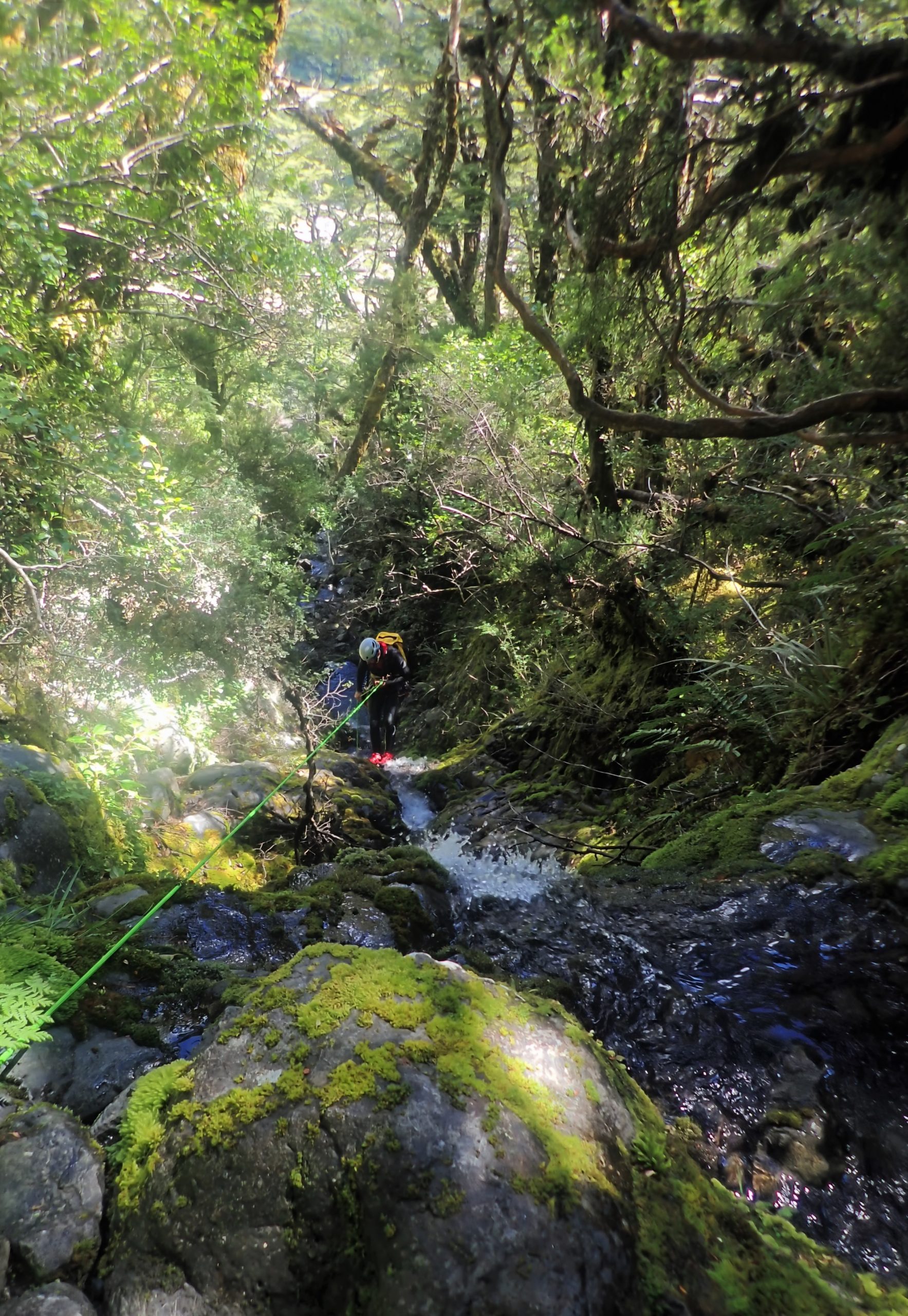
| Character: | An easily accessible pretty mossy bedrock canyon low flow, perfect for beginners. Best after heavy rain. |
| Start of the canyon (topomap link): | https://www.topomap.co.nz/NZTopoMap?v=2&ll=-42.939631,171.575832&z=14&pin=1 |
| Carpark (google maps link): | https://goo.gl/maps/t6A6uGbaVycQHvRH8 |
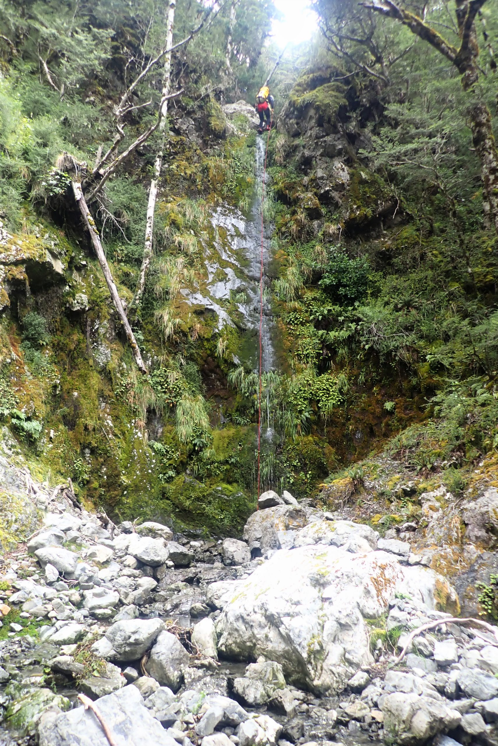
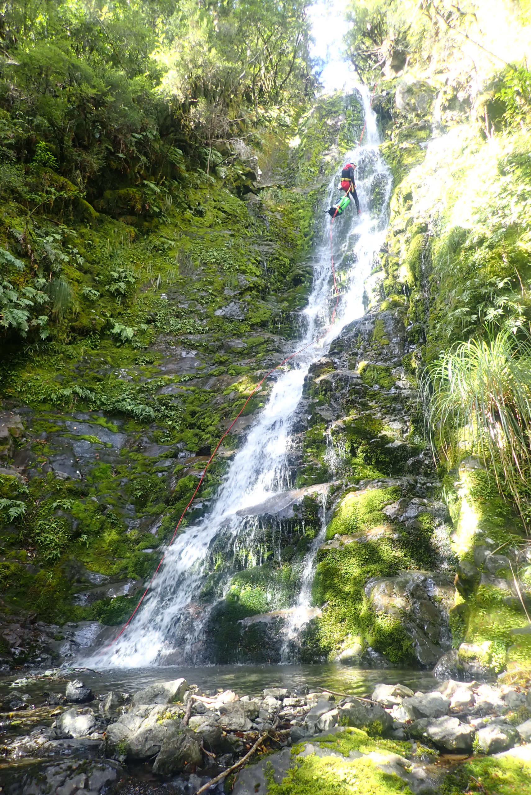
| Highest waterfall: | 35m |
| Suggested gear: | 2x 40m |
| Canyon dimensions: | 500m vertical |
| Rock: | Greywacke |
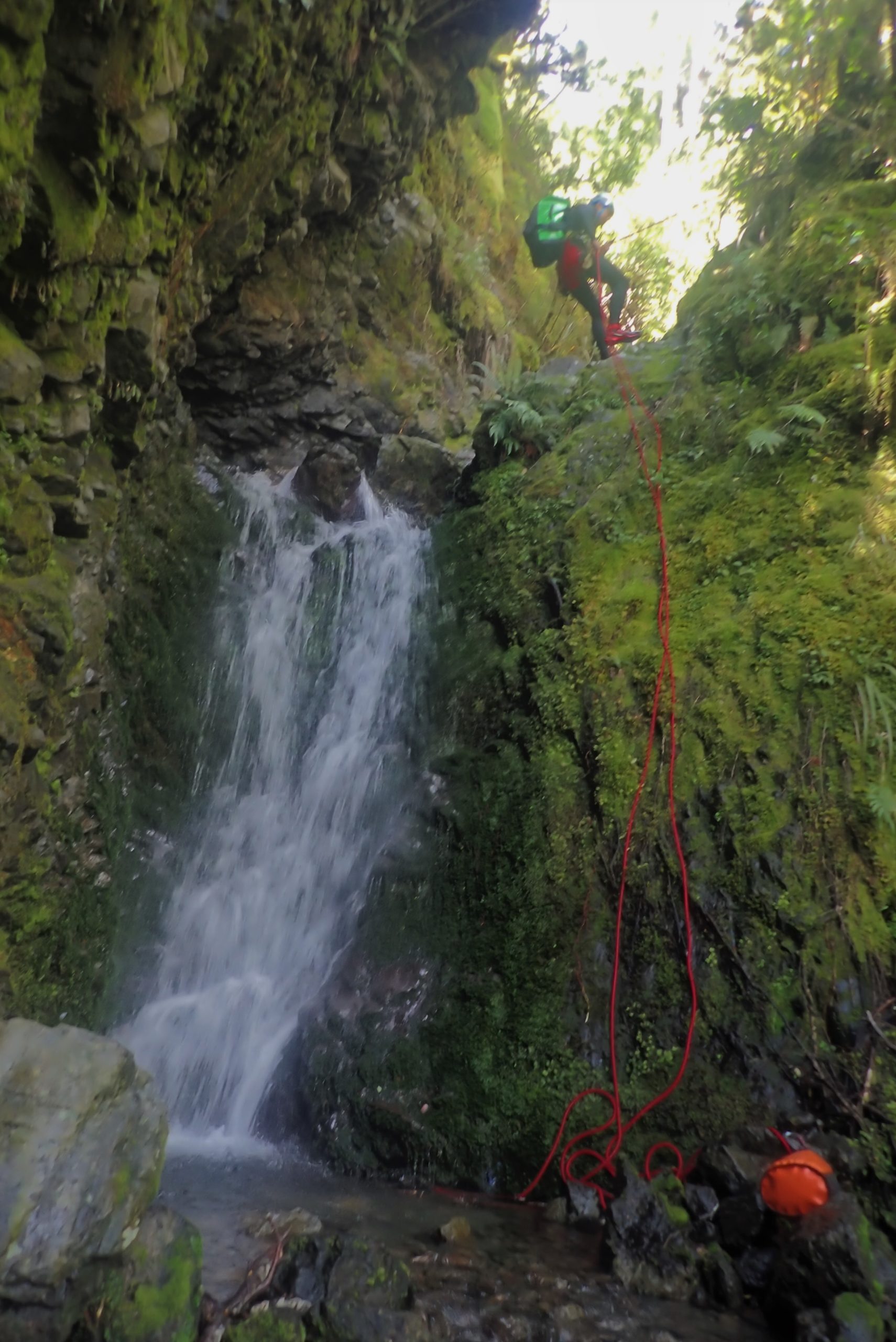
| Anchors: | Natural anchors |
| Approach time: | 2 hours |
| Descent time: | 3 hours |
| Back to your car time: | 5 minutes |
| Approach by car: | State Highway 73 to Arthur’s Pass and park by the Railway Station rest rooms. Walk to start of Mt Aicken track. [5 minutes] |
| Access: | Public access |
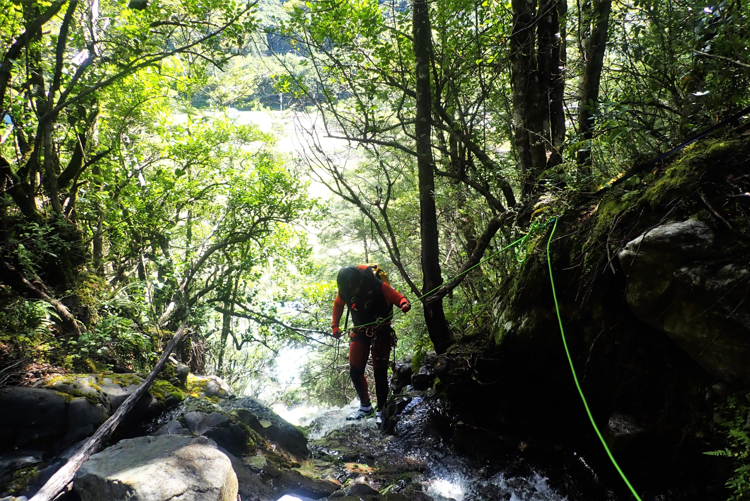
| Approach on foot: | Follow Mt Aicken track to the bushline, then sidle across to the first obvious gully. |
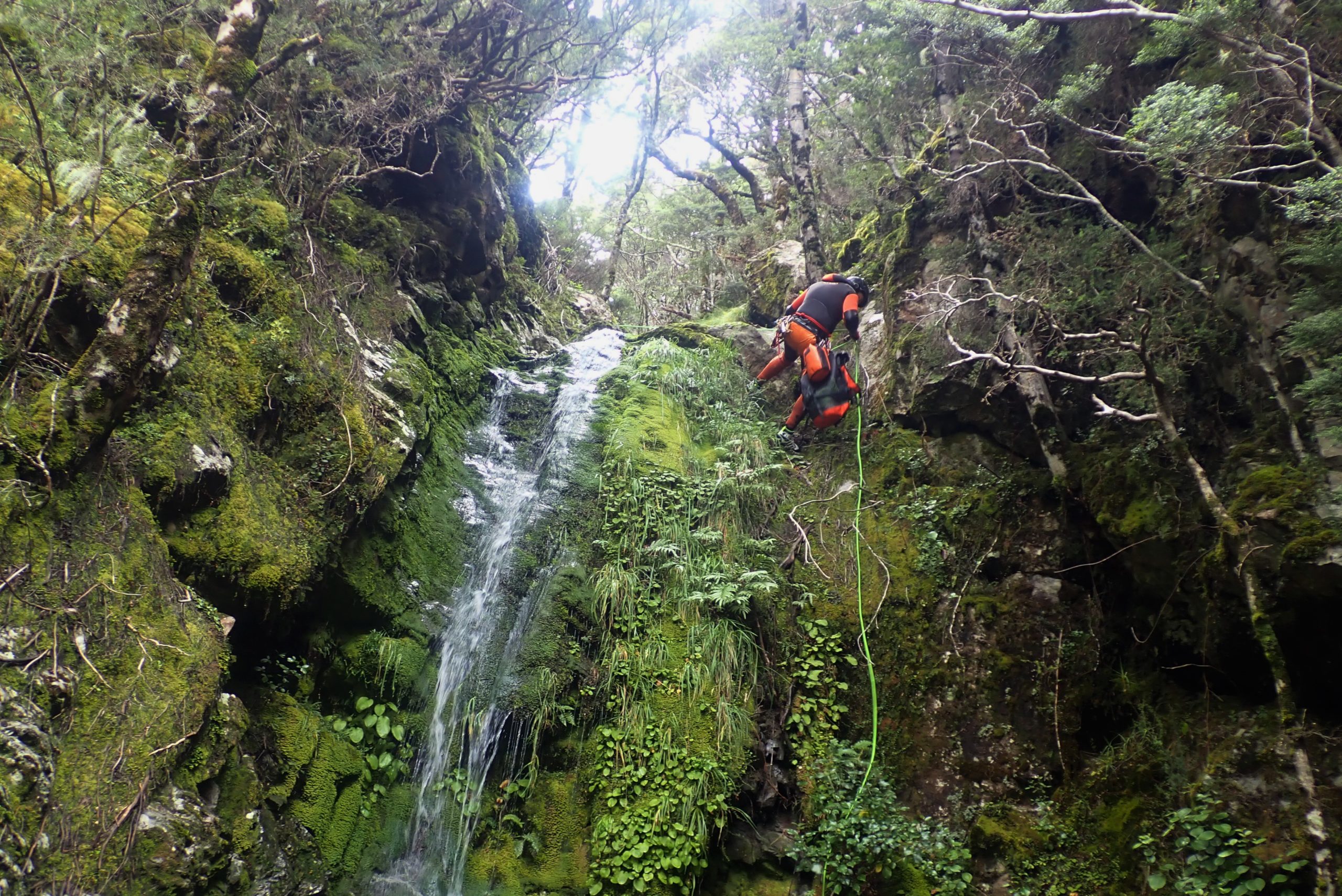
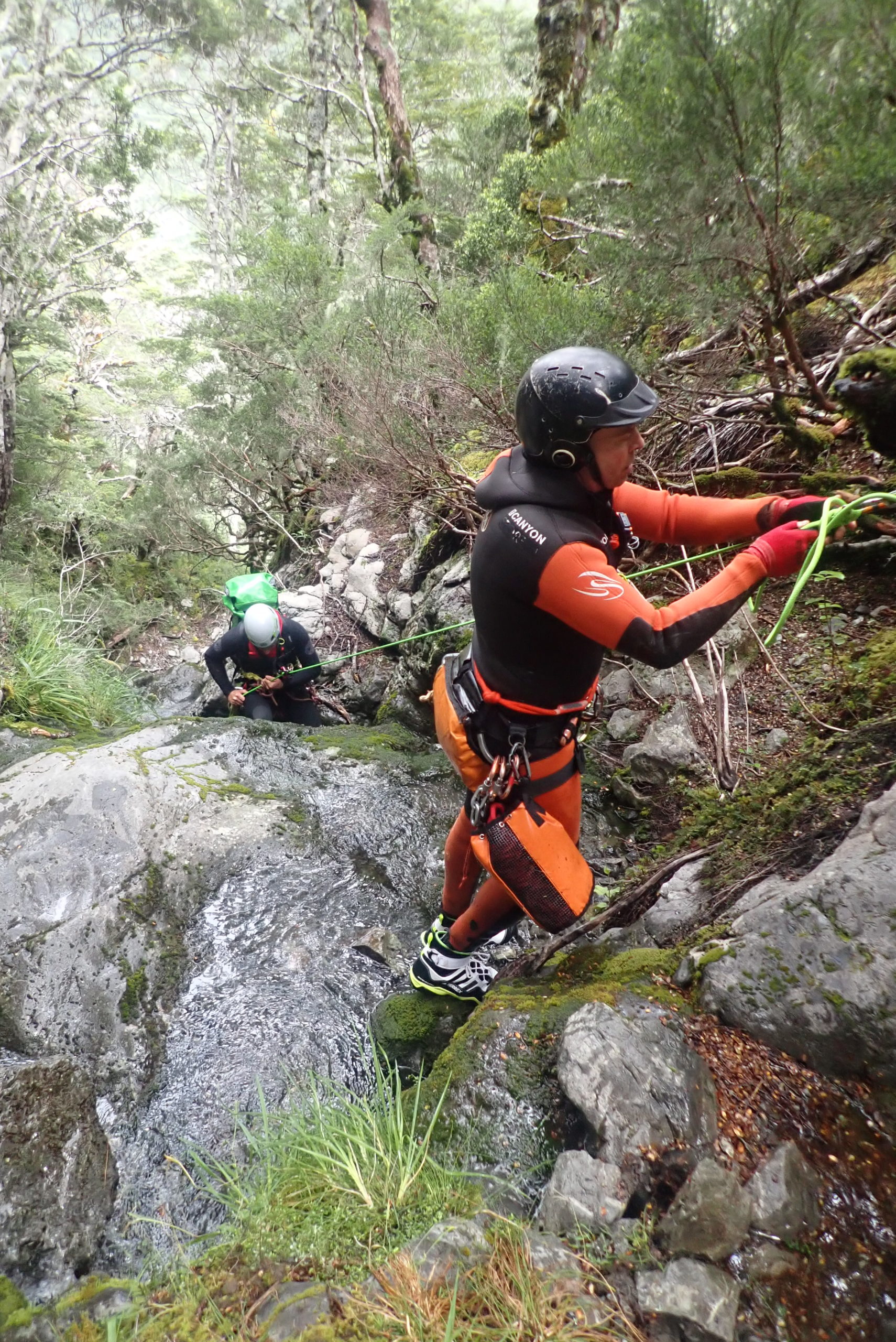
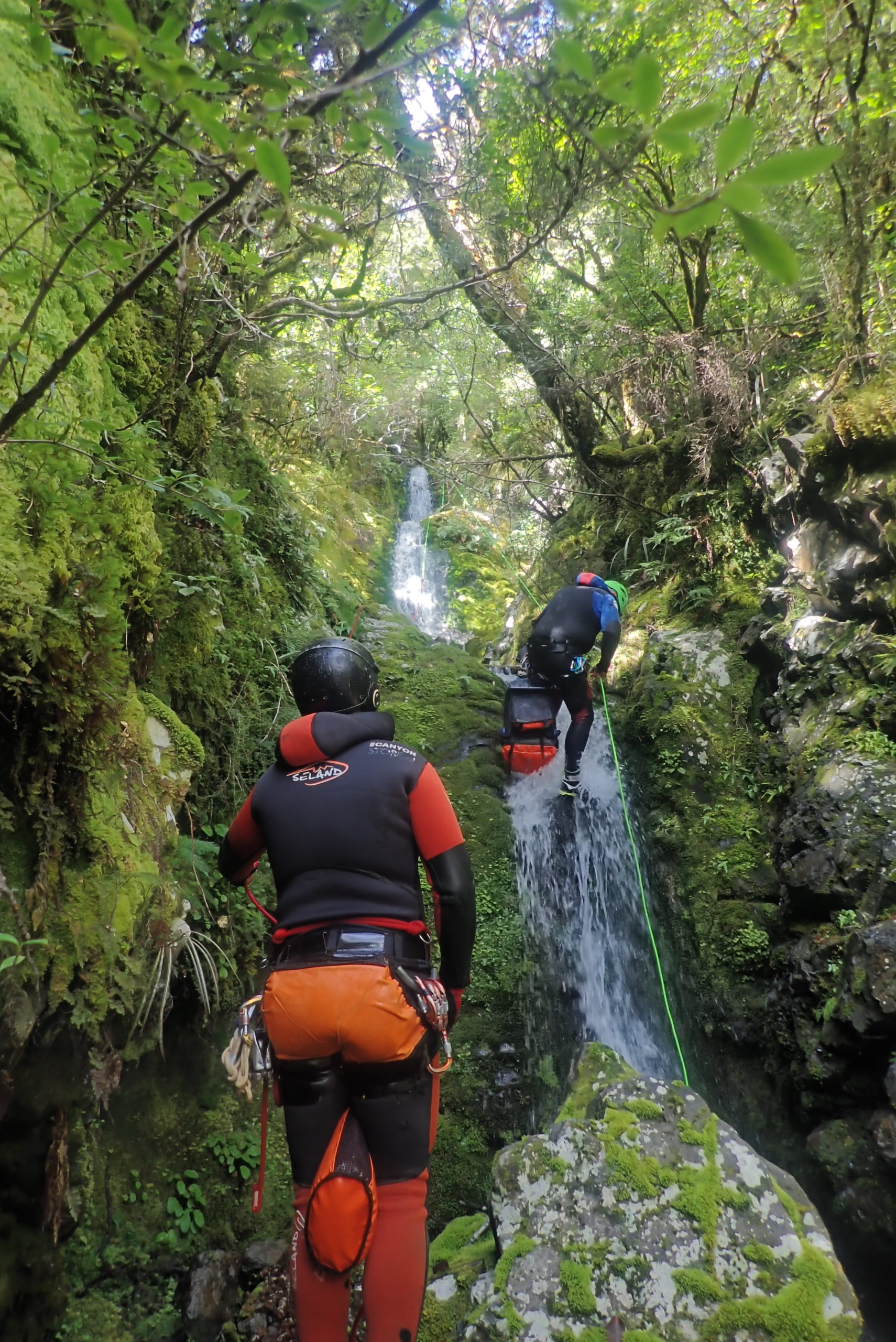
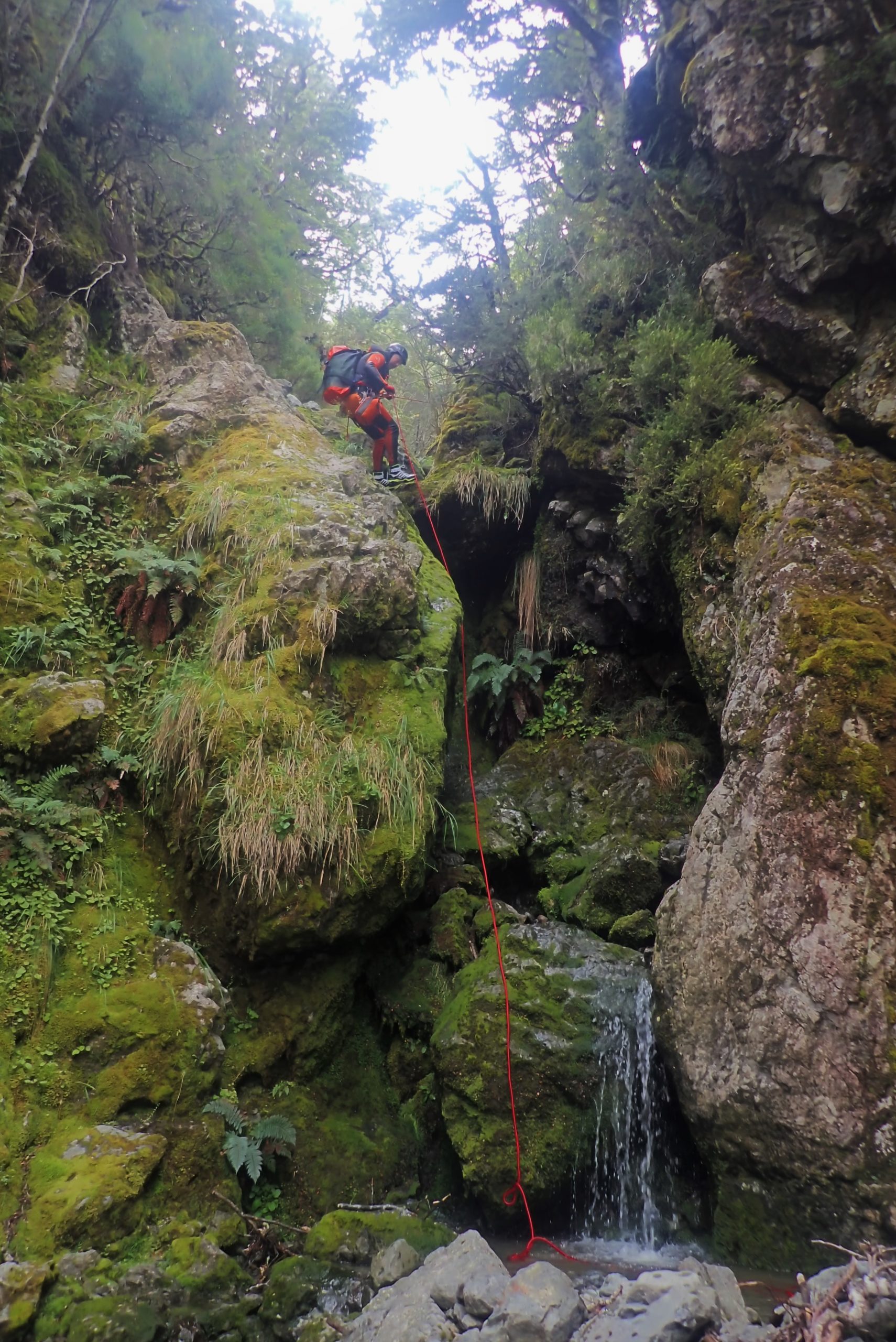
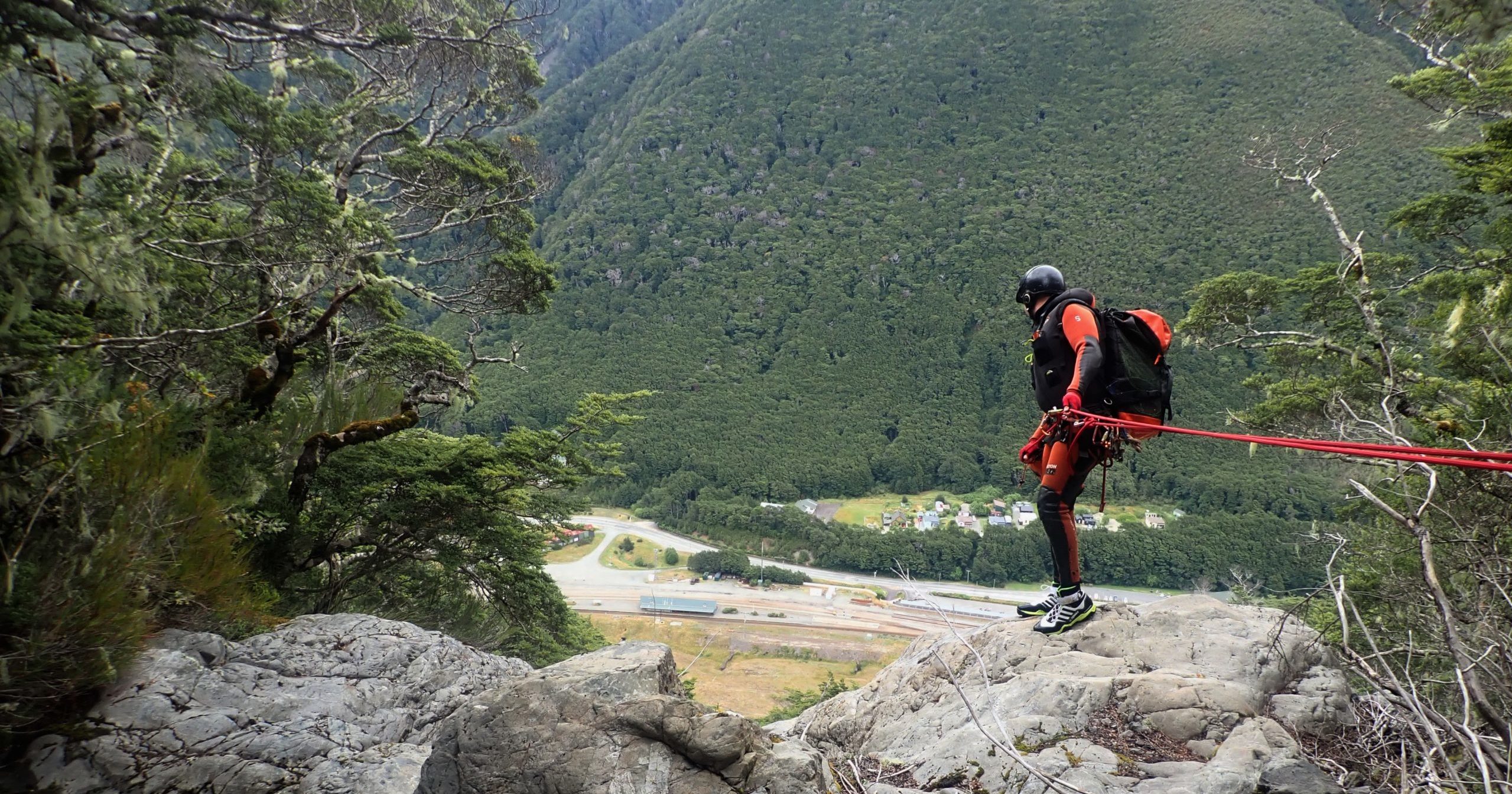
| Canyon descent description: | Short downclimb, then a series of 14 rappels, up to 35m on the 2nd last drop. Canyon quality improves, along with water flow as you descend. A beautiful view to the village from R4 with a couple of horizon line anchors. Quality bedrock throughout. Very low flow, so a good option after heavy rain and manageable. A great beginners intro to Arthurs Pass and using natural rigging en masse. A huge bonus of ending right beside the railway station, and back through the tunnel to the car in 5 minutes. |
| Committment/Escapes: | In parts it feels very canyon like, but escapes are possible, descent possible by abseiling down through the beech forest. |
| Other notes: | Nearest cafe and restaurant five minutes from the end of the canyon. |
| First descent: | James Abbott, Grant Prattley, Nola Collie, Aaron Dawson 2022 February 7 |
KiwiCanyons.org
proudly supported by


Support this free, volunteer-run resource with a monthly contribution
Your contribution goes directly to Dan Clearwater, to support his time building and maintaining this resource.
Make a one-off donation

Was this info worth something to you?
Then support this free, volunteer-run resource with a monthly contribution
Or make a one-off donation
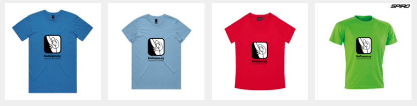
Or show others you support the site with our merch