


Public Access
4-5hr round trip
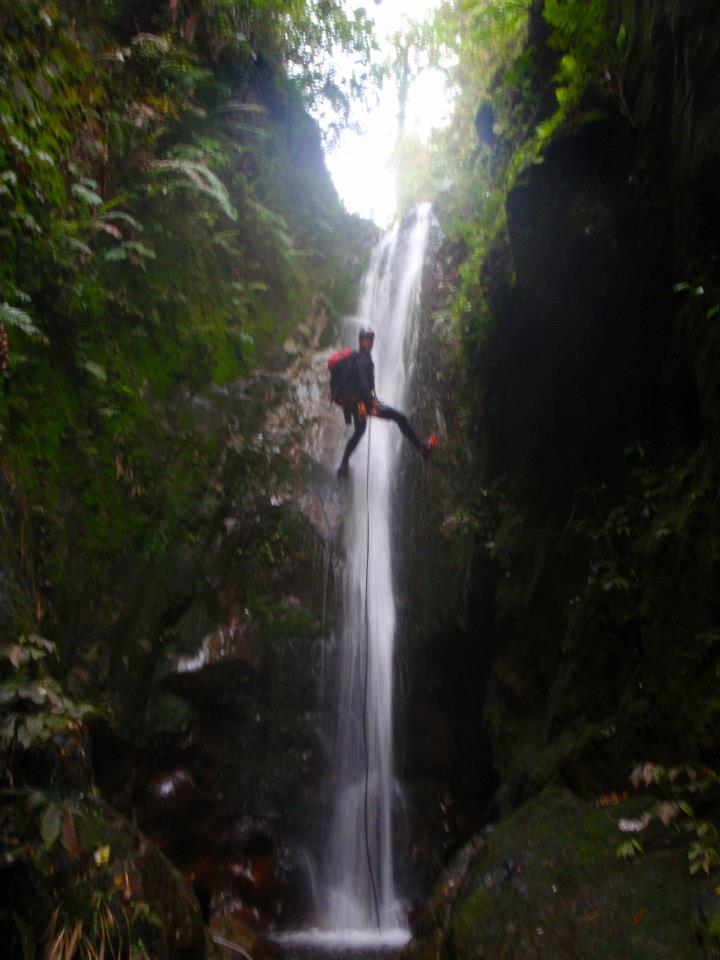
45m
**UPDATE OCTOBER 2022***
Unfortunately there has been significant storm damage to the canyon, with lots of trees down in the stream, which makes the trip not reccomended at present.
Emma Stanley
Original canyon notes
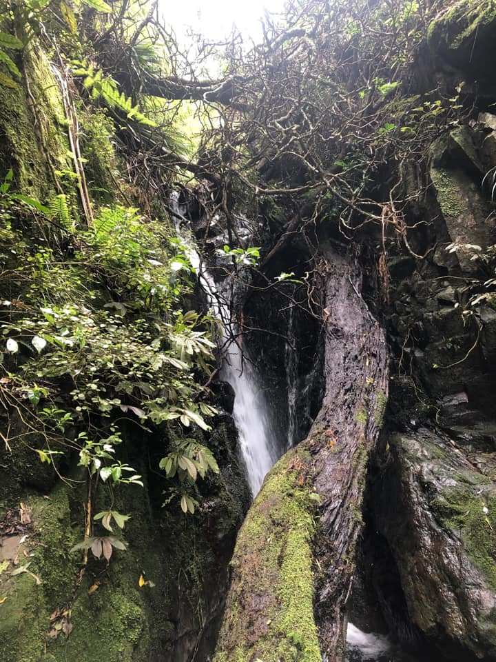
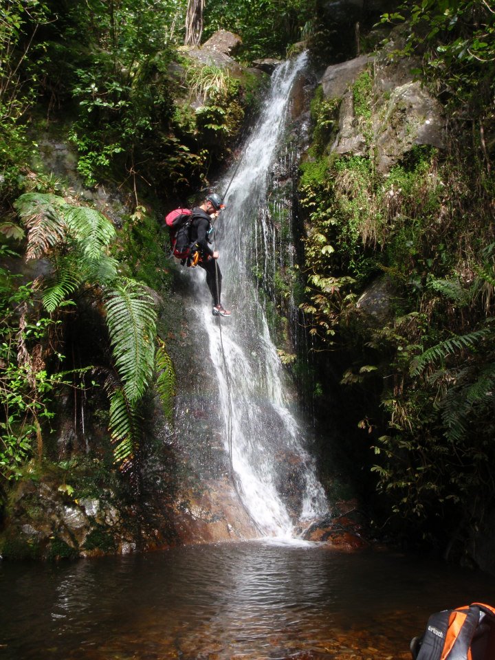
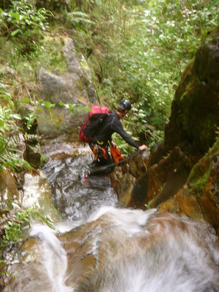
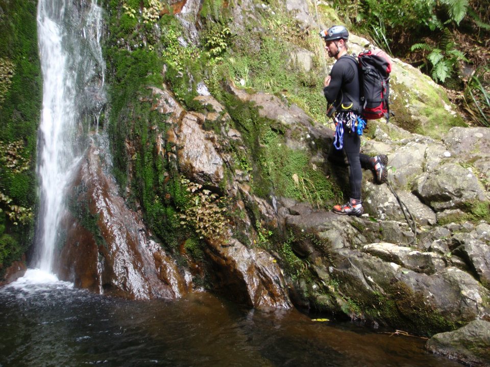
There are rappels in the stream almost from the summit of Mt Te Aroha, however the best sections are lower in the stream.
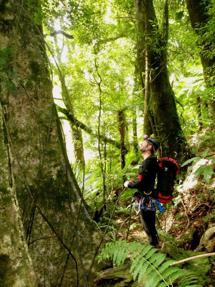
The reccomended approach is via the ‘Horsemans Track’ which is a local track beginning from the Hotpools. It is signposted from the hotpools, but does not show on the Topo50 map.
Climb to where the Horsemans track turns sharply south and begins to climb back to the DOC track. Instead, bushbash for 5 minutes towards the canyon. This route lets you arrive about the 400m contour. The best part of the route starts at approximately 330m contour.
Alternatively, climb the DOC ‘Bald Spur Track’ to an informally signposted junction with the Horsemans Track. Descend the track, then bush bash to the stream.
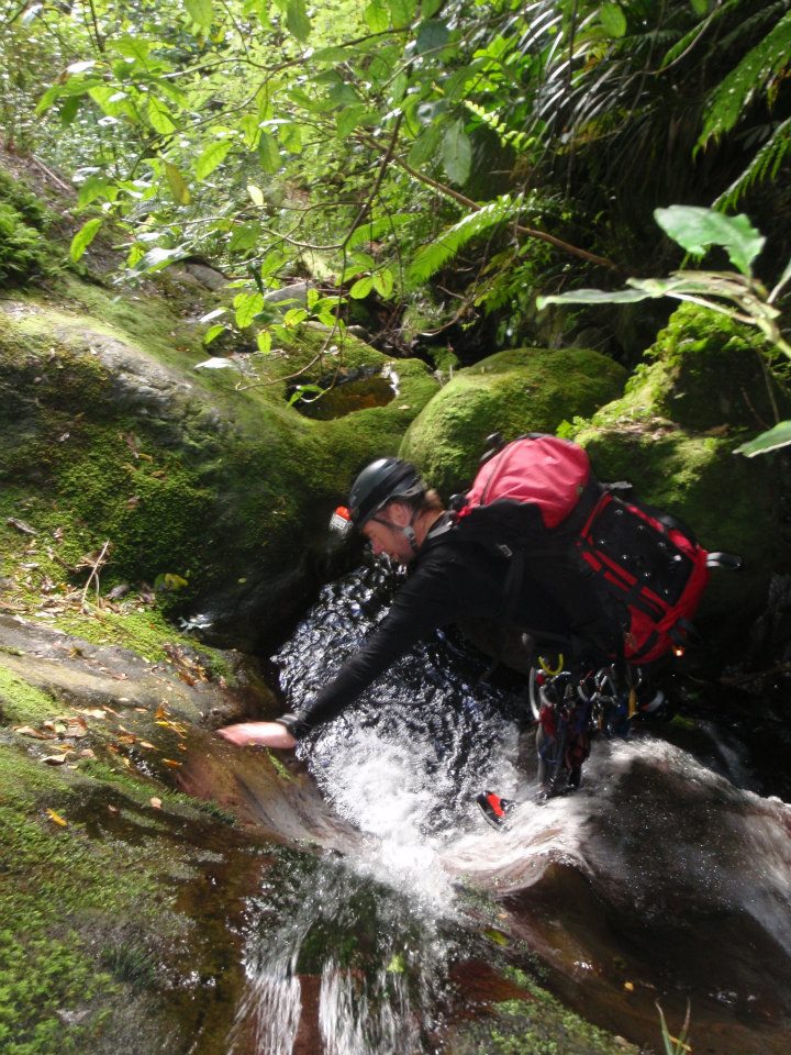
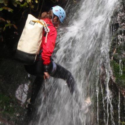
Approximately 16 rappels from natural anchors. Maximum waterfall height was about 28m, but a lack of suitable anchors meant that rappels up to about 45m were needed.
Very low flow, wetsuits not essential on a hot summers day.
Download a KMZ (google earth) file showing the recorded data for this approach and return. Tutumangao KMZ Data for KiwiCanyons
The canyon is clear now. The storm debris must have washed down.